- Membership |
- Shop |
- Calendar |
- Donate

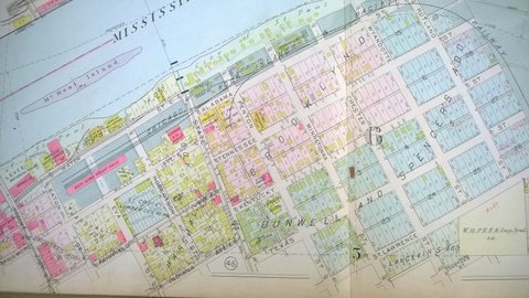
1916 plat map of that portion of the Flats not included in the previous map. Historian Lorraine Esterly Pierce calls the area east of the Robert Street Bridge the Lower East Side. Plat Book of Saint Paul Minn. and Suburbs. Philadelphia: G.M. Hopkins & Co., 1916.