- Membership |
- Shop |
- Calendar |
- Donate

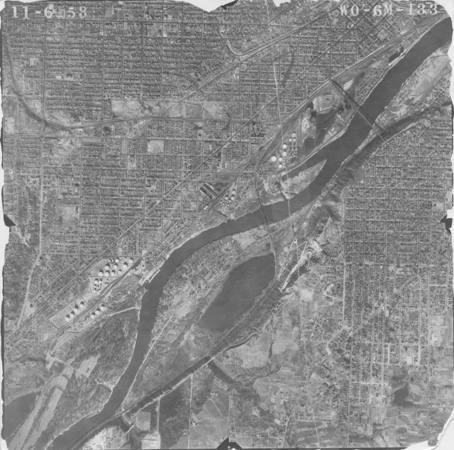
Aerial photograph of the Mississippi River southwest of downtown St. Paul, with Cherokee Park visible in the upper right, 1953. Minnesota Historical Aerial Photographs Online, John R. Borchert Map Library, University of Minnesota.