- Membership |
- Shop |
- Calendar |
- Donate

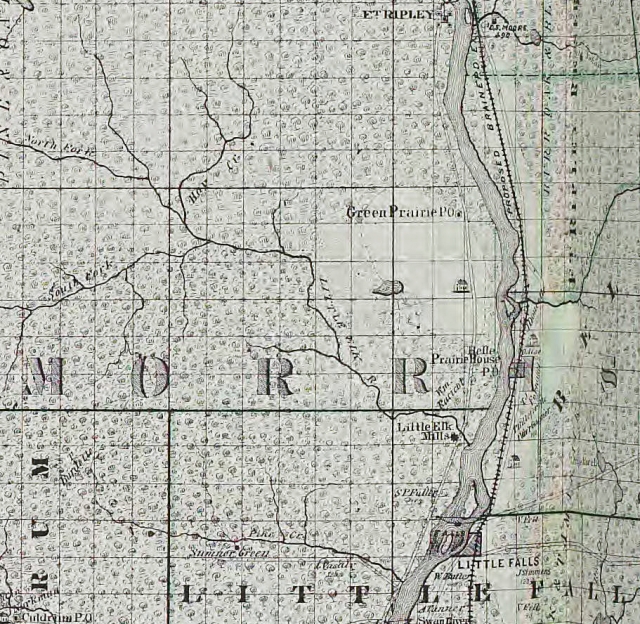
Detail view of a map reproduced in Alfred Andreas's An Illustrated Historical Atlas of the State of Minnesota. Chicago: A.T. Andreas, 1874. The map shows the location of the Belle Prairie Mission relative to Fort Ripley and Little Falls.