- Membership |
- Shop |
- Calendar |
- Donate

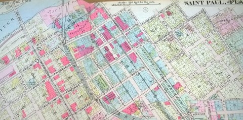
1916 plat map of the Flats, except the northeast portion. The main north-south streets were, left to right, Wabasha, Robert, and State. Plat Book of Saint Paul Minn. and Suburbs. Philadelphia: G.M. Hopkins & Co., 1916.